Printables for Grades K-5
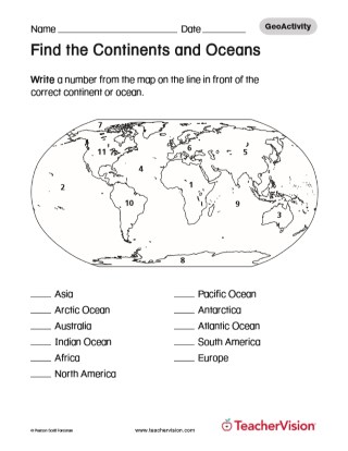
Build your students map reading and identification skills with these various activities that cover maps of the entire world. These visual representations of parts of the world will help your students discover without having to leave the classroom! These resources are geared toward grades K-5.
Printables for Grades 6-8
Go deeper with your study with these printable maps of different parts of the world. Whether you are completing a comprehensive study of the United States or another country, or you just want to focus on a particular subsection, these worksheets will help students in the moment during your lessons as well as a resource to study for their quizzes as well.
Printables for Grades 9-12
Use these resources for a general study of different countries or modify them to target a specific historical period or political movement that you want to focus on with your students. These maps can be a useful resource or study guide as students move toward learning more higher order concepts and retaining more historical information throughout the upper grades.
Lesson Plans
Use these comprehensive lesson plans to fully develop an individual, geographical concepts, or historical periods of time that you want to focus on with your students. Within each lesson, you will be guided on how to complete the lesson with students as well as provided different questions, discussions, or activities to help students deeply understand the topic under study.
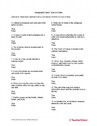
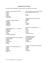
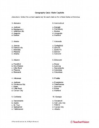
Printable Geography Quizzes
Tired of making your own geography quizzes? Who says you have to? Review the different quizzes in this section to use as the perfect complement to your lessons and activities. You can use these quizzes as is or can modify them to better meet your teaching style or the needs of your classroom.
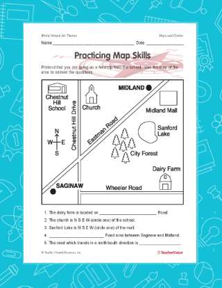
Maps and Globes Resources
Use these printable map outlines or review the Practicing Map Skills activity to help your students learn about the different geographic features of various places around the world. These maps can be used again and again and are great resources to help student keep track of the constantly changing world.
Geography Games & Puzzles
Need an interactive game to help reinforce your students' understanding of a geographical unit? This section is the one for you. Whether you want to teach students initial map skills by creating your own map of your classroom, or help them remember the different features that can be used when viewing a map, these printable games will make learning fun for your students.
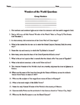
Technology Resources for Geography
Build your students inquiry, research, and discussion skills with these geographical technology resources. In this section, students will be responsible for investigating the world's wonders and reporting on their findings.
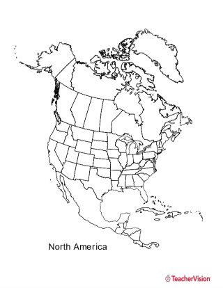
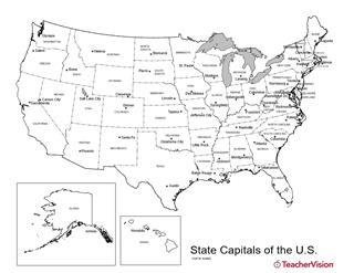
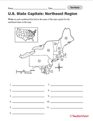
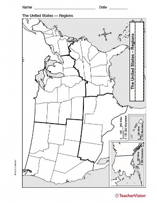
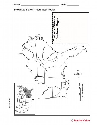
U.S. Geography Resources
Use these printable maps to teach a comprehensive study of the geographical makeup of the United States. Students can keep these maps as study tools when looking back on a full year's study of the U.S. or just as a quick reference during a topic or concept.
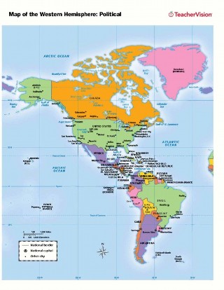
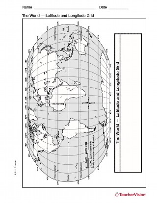
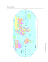
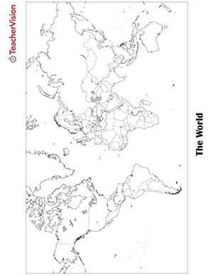
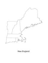
World Geography Resources
Use these printable maps to teach a comprehensive study of the geographical makeup of the the world. Students can keep these maps as study tools when looking back on a full year's study of the world. or just as a quick reference during a topic or concept.
Political Geography Resources
Help your students keep track of all the political affiliations during different historical periods with these resources. In this section, you can use printable maps, interactive books and slideshows, or just reinforce their understanding of geographical topic with various quizzes.
References
Looking to build your geographical resource library? This section can provide you a wealth of resources ranging from lesson plans, various charts and maps, or just some fun information or facts on the different parts of the world.
Geography Skill Builders
Uses these Skill Builder guides to help students learn research skills and discover fun facts about geography. Each guide divides into different activities according to your individual classrooms grade level so it can be a resource that you use for any classroom. It also is completed weekly so this be a great compliment to your daily lessons, review sessions, or even as homework activities for your students.
Geography Resources for History Class
Use these resources to help students learn about the geography from different historical periods or important events. In this section, you have access to different lesson plans, printable maps, interactive activities, and classroom guides for discussions. These resources can be kept as is or can be modified to be better for your individual teaching style or classroom needs.
Earth Science & Geography Connected
Planning a cross-curricular study with your fellow teachers? Or just trying to help students understand how geography is formed? This section will provide you for a little bit of both! In this section, you have access to different comprehension resources that outline the causes and effects of natural disasters and how that has developed the geography from the past to today.
Math & Geography Connected
Planning a cross-curricular study with the other teachers in various content areas? Or just trying to help students understand map reading and geography skills? This section will help you prepare for any objective or goal you have for your students. Use the different printable maps, lesson plans, or graphic organizers to build students comprehension and map-reading skills by focusing on topics such as time zones and latitude and longitude.
Language Arts & Geography Connected
Build your students reading comprehension and map reading skills with these different activities. In this section, students connect their understanding of different geographic features with their own previous knowledge and experiences. Each resource is a perfect complement to any part of your lesson, as a resource for students to use to remember key concepts, or as supplemental work to assess student understanding.
Art Activities for Geography
Use these activities to add an artistic spin to learning geography. Students can create their own geographical tools, create cultural artifacts of individuals from a different country, or design different geographic maps of countries around the world. These activities can be used as is or modified to better suit the needs of students in your classroom.
Earth Day Activities
Build your students understanding of this important day with different resources that highlights the importance of taking care of our Earth. In this section, students can review the different economic resources that are pivotal to human survival, the different ways we take care of resources, and much more!
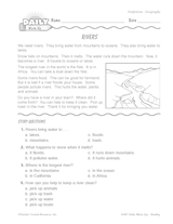
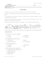
Wildlife Week Resources
Use these literature/teacher guides to review with students the different types of wildlife that live in various places around the world. These guides can compliment any content area and will help your students improve their reading comprehension and geography skills. Use them as is or adapt them to best fit your classroom.
Columbus Day Activities
Use these lessons or activities in this section to help students learn about Christopher Columbus's voyage and exploration of America. These activities can be kept as is or modified to fit your individual teaching style or the needs of your students.
Native American Resources
Help students understand that studying geography means studying the individuals that live in those different regions as well. By reviewing the lives and culture of Native Americans, students can connect their geographical skills to deeper higher order thinking ones
Voyages & Travels Resources
Use these different resources with your students to discuss the concepts of voyages and traveling. In this section are different visual maps, lesson plans, reading comprehension activities, and much more! These activities can be used in their current form or modified to better serve the needs of your classroom.
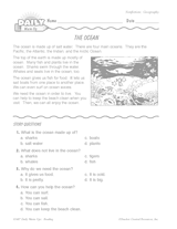
Ocean Resources
Need some inspiration for teaching your students about the Earth's oceans? Well look no further! Whether it's full comprehensive lesson plans, printable map activities, game worksheets, or resource guides for geographical features, this is the section for you. These activities are great as they are or can be adapted to the characteristics of your classroom.